Publications
Selection of our scientific and professional books that introduce remote sensing imagery and software package.

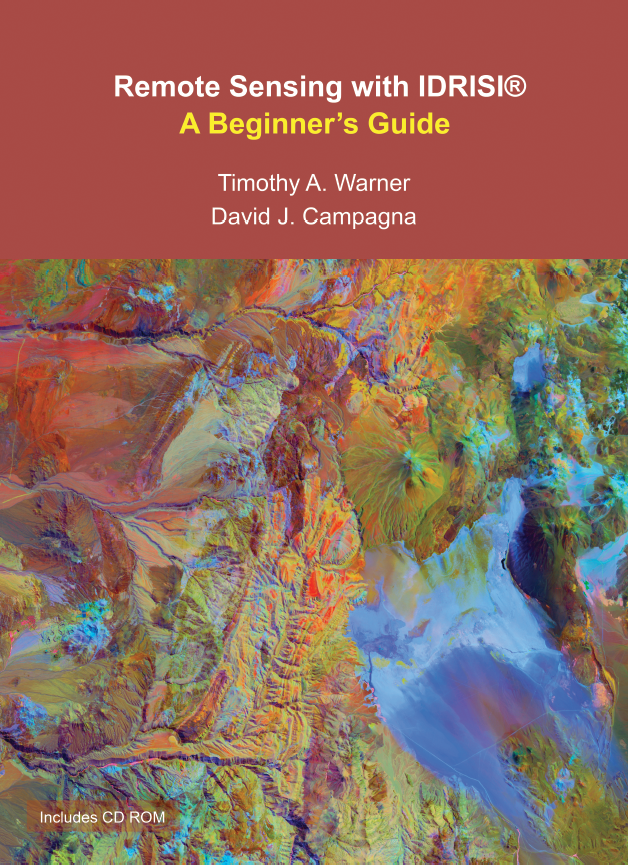
Remote Sensing with TerrSet/IDRISI - A Beginners Guide
Timothy A. Warner, David J. Campagna, Florencia Sangermano
New 2017 Edition
Overview
This book provides a comprehensive introduction to the TerrSet®/IDRISI® remote sensing software package. With clear instructions and more than 300 color illustrations, the text is ideal for students and professionals seeking a hands-on and guided exploration of the fundamental issues in remote sensing and image processing.
| Year | 2017 |
| Pages | 390 pages |
| Dimension | 19 x 26 cm |
| Price | Book: USD$ 55.00 Postage: USD$ 25.00 |
| Total: | USD$ 80.00 |

Remote Sensing with IDRISI - A Beginner's Guide
Timothy A. Warner, David J. Campagna
2013
Overview
This book provides a comprehensive introduction to the IDRISI® remote sensing software package. With clear instructions and colour illustrations, the book is is ideal for students and professionals seeking a hands-on and guided exploration of the fundamental issues in remote sensing and image processing.
| Year | 2013 |
| Pages | 308 pages |
| Dimension | 19 x 26 cm |

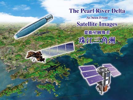
The Pearl River Delta As Seen From Satellite Images
K. N. Au
2008 with CD-ROM
Overview
This book comprises 4 main setions. Section 1 presents night-time images of the Pearl River Delta region, and Hong Kong & its environs. Section 2 contain images of 15m resolution acquired by Landsat-7 satellite. Section 3 includes photo of 2m resolution obtained by the Corona satellite. Section 4 features colour images of 60cm resolution taken by the QuickBird satellite. These images were collected in the period of 1969 - 2008. They show the spectacular changes in the Pearl River Delta region over the 39 years.
| Year | 2008 |
| Pages | 128 pages |
| Dimension | 28.5 x 21 cm |

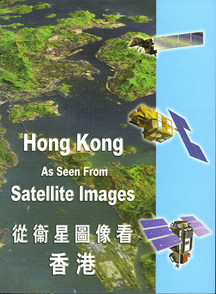
Hong Kong As Seen From Satellite Images
K. N. Au
2005
Overview
This book comprises spectacular images of the Hong Kong Special Administrative Region acquired by Landsat-5, Landsat-7. SPOT-5, and QuickBird satellites on different dates. In addition, a black and white photo collected by Corona satellite in 1969 is included. When it is compared with a Landsat image acquired in 2003, the changes in Victoria Harbour over that period are shown vividly.
| Year | 2005 |
| Pages | 80 pages |
| Dimension | 19 x 26 cm |