Images
Satellite
Application
Application of satellite images
The following are examples how satellite images help solving critical and daily problems.
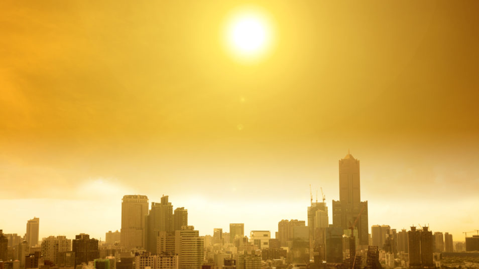
Satellite images can monitor Urban heat Island.
Satellite images can investigate the resources in a forest.
Satellite images can monitor the changes of water flow.
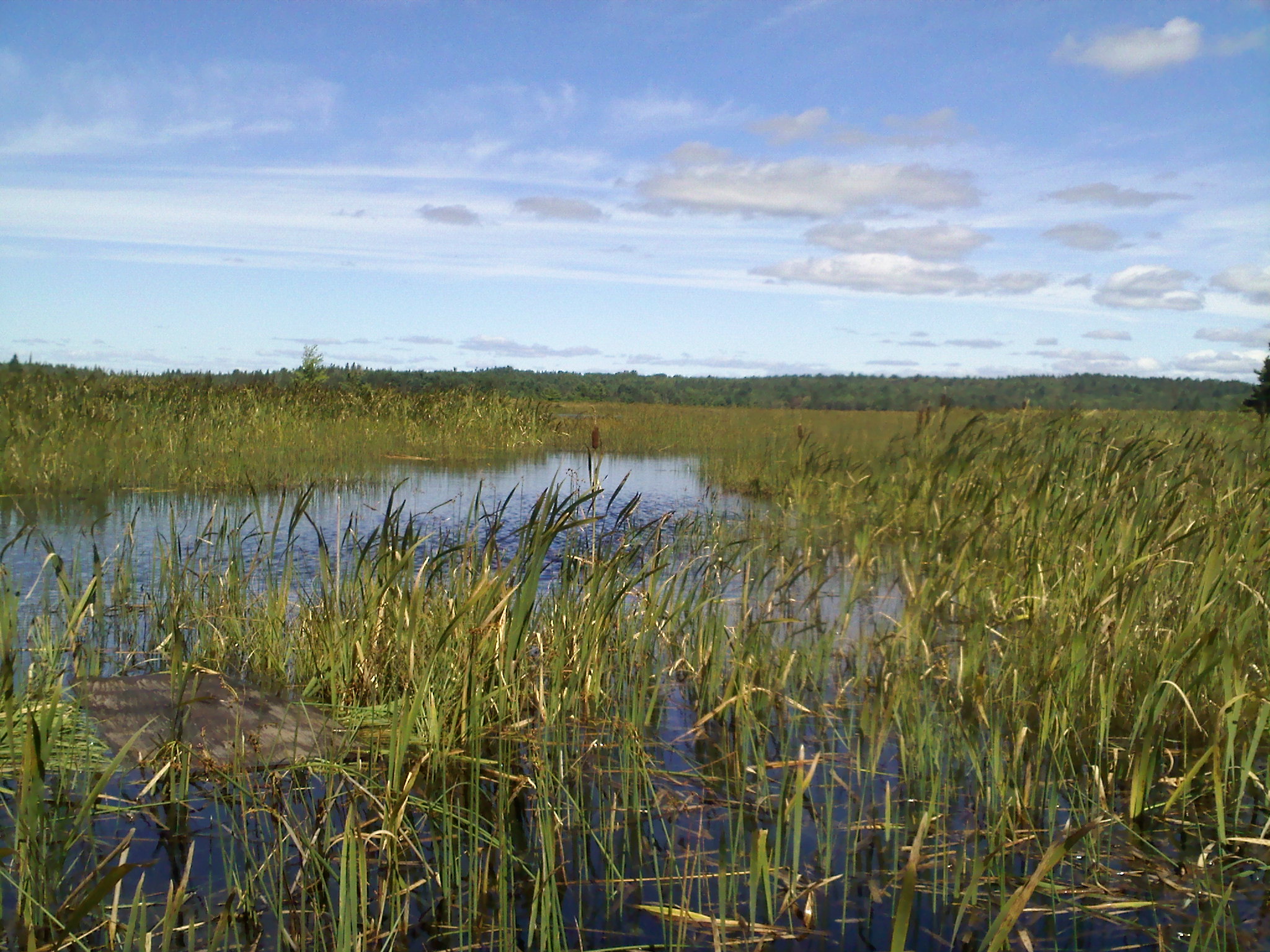
Satellite images can monitor the changes of resources in wetlands.
Satellite images can evaluate the risk of flooding.
Previous
Next
Consult us now
For further assistance or if you have any questions please do not hesitate to contact us.
Get In Touch