Satellite Imagery
We distribute a wide range of cost-effective and affordable satellite images.
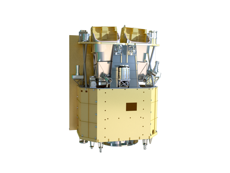
Jilin1-Hyperspectral1/2
Equipped with Multi-spectral imager, short-wave, medium-wave, long-wave infrared camera, it can achieves 5m resolution, 110km width and 26 spectrum segments of remote sensing data.
| Basic information | |
|---|---|
| Satellite ID | JL101C and JL102C |
| Satellite constellation | Jilin 1 |
| Launch Date | 2019-01-21 |
| Status | Coming Soon |
| Launch Date | 2019-01-21 |
| Altitude | 528km |
| Orbit | Sun-Synchronous |
| inclination | -° |
| local time at descending node | 10:10-10:34 a.m. |
| period | - |
| orbit cycle (revisit date) | 7 days |
| swath width at Nadir | >110 km |
| Maximum Viewing Angle | 50° |
| Full Coverage on a single Pass | 58.7km x 58.7km(PMS) / 64km x 64km (SWIR, MWIR) / 96km x 96km (LWIR) |
| Image Pattern |

Conventional Push-Broom
Large-Angle Side Sway Imaging |
| Further data | |
|---|---|
| Spectral Characteristic | Hyper-spectral |
| Data tranimission | 900Mbps/600Mbps/300Mbps/150Mbps |
| Minimum order | |
| Tasking | - |
| Archive | - |
| Luminous | - |
| Detail of Bands | |
| B0 | Pan Spectrum 450 - 800nm (5m), |
| B1 | Yellow 403 - 423nm (5m) |
| B3 | Seaclanseoast 433 - 453nm (5m) |
| B4 | Blue 525 - 600nm (5m) |
| B5 | Green 630 - 680nm (5m) |
| B6 | Red 784.5 - 899.5nm (5m) |
| B7 | Leaf Area Index 485 - 495nm (10m) |
| B8 | Chlorophyll 615 - 625nm (10m) |
| B9 | Sediment Discharge 650 - 680nm (10m) |
| B10 | Peak Spectrum of Chlorophyll 698.75 - 718.75nm (10m) |
| B11 | Red-Edge 732.5 - 747.5nm (10m) |
| B12 | Leaf Area Index 773 - 793nm (10m) |
| B13 | Chlorophyll, Biomass 855 - 875nm (20m) |
| B14 | Chlorophyll, Sediment 660 - 670nm (20m) |
| B15 | Chlorophyll, Fluorescence, Red Edge 677.5 - 685nm (20m) |
| B16 | O2 Absorption Reference 750 - 757.5nm (20m) |
| B17 | O2 Absorption 758.75 - 762.5nm (20m) |
| B18 | Steam Correction 935 - 955nm (20m) |
| B19 | Atmospheric and Aerosol Correction 1000 - 1040nm (20m) |
| SW1 | Water Content, Plant Canopy 1195 - 1225nm (100m) |
| SW2 | Ice Cloud, Convolutional Cloud 1360 - 1390nm (100m) |
| SW3 | Soil Moisture, Smoke, Cloud and Snow 1550 - 1590nm (100m) |
| SW4 | Smoke, Fire, Cloud and Snow 1610 - 1690nm (100m) |
| MW1 | Fire Point 3700 - 4950nm (100m), |
| LW1 | Surface Temperature 7500 - 13500nm (150m) |