

Spectacular Flythrough over Greater Bay Area
飛越粵港澳大灣區
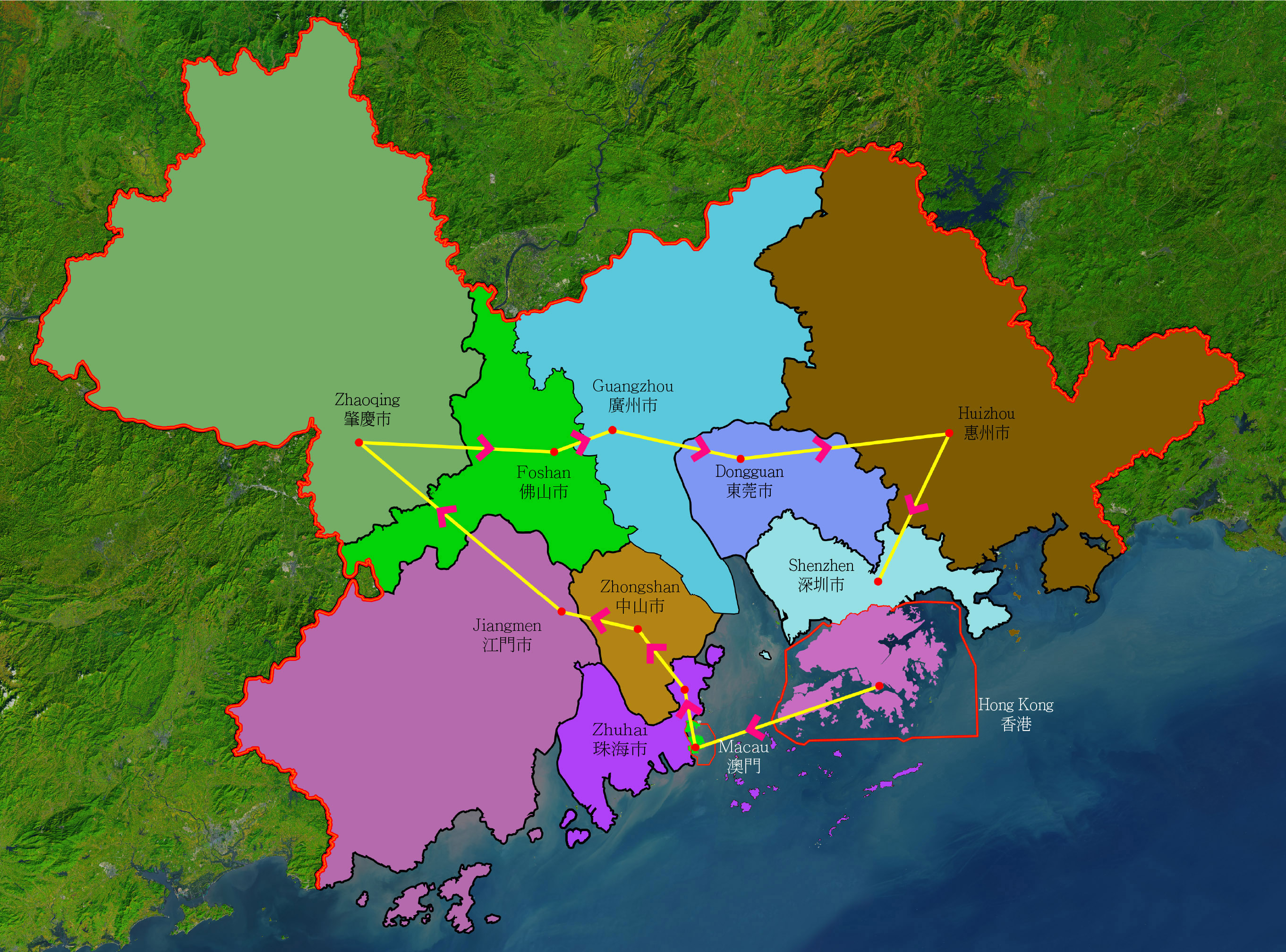
The flythrough over the 9 cities and 2 Special Administrative Regions is created with SpacEyes3D software. The route of the flythrough is indicated on the map below. The flythrough will stop over each city for about 3 seconds and it will continue automatically.
以下動畫以SpacEyes3D軟件製作,飛越了大灣區9個城市和2個特別行政區。下方地圖展示了動畫的飛越路線。動畫在每個城市停留約3秒,然後繼續自動航行。
以下動畫以SpacEyes3D軟件製作,飛越了大灣區9個城市和2個特別行政區。下方地圖展示了動畫的飛越路線。動畫在每個城市停留約3秒,然後繼續自動航行。
High Resolution Satellite Images of
9 cities + 2 Special Administrative Regions of Greater Bay Area
9個城市和2個特別行政區的
高解像度衛星圖
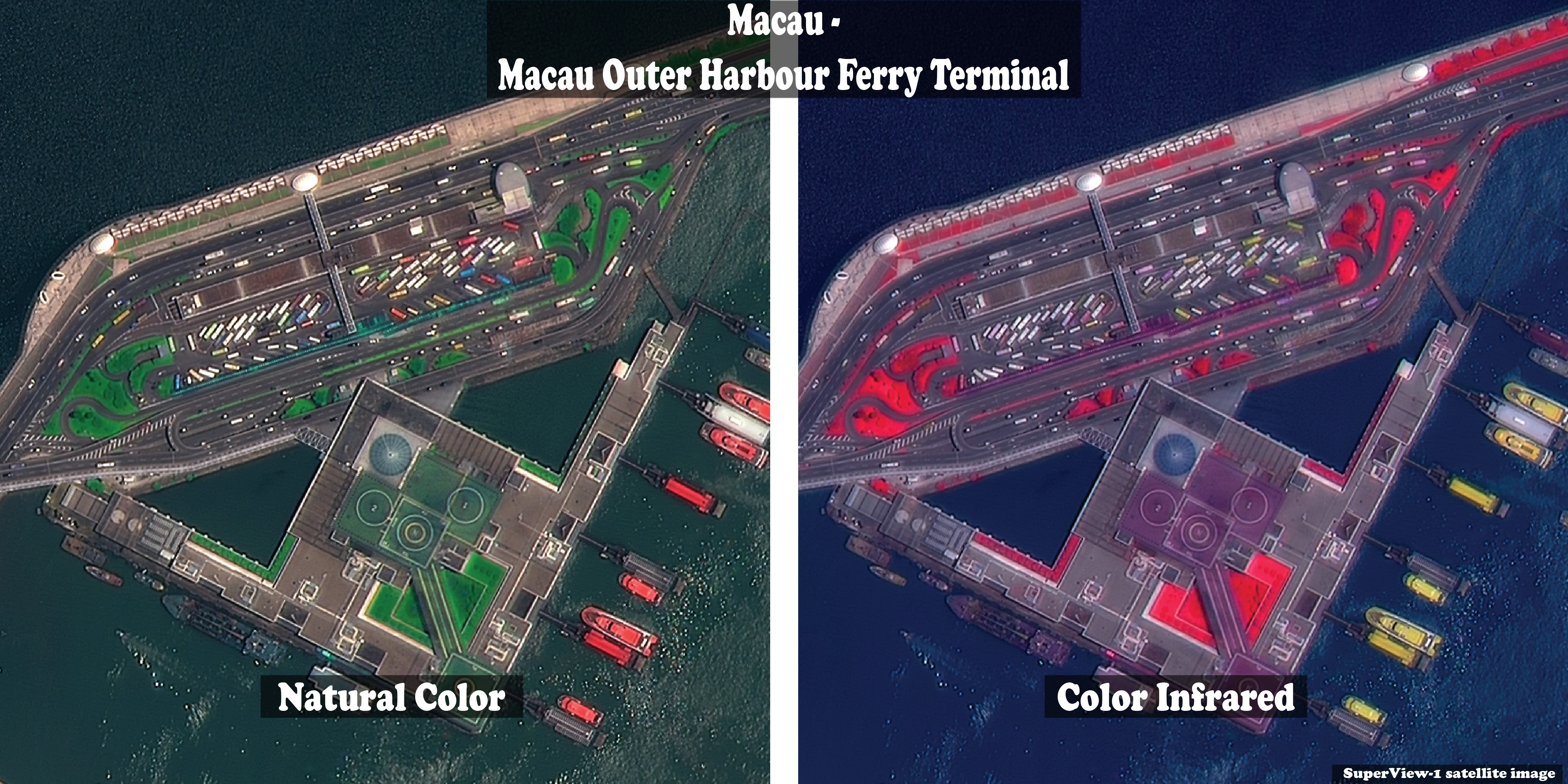
The natural color and color infrared SuperView-1 satellite images below are distributed by SpaceWill Info. Co. Ltd.
They are available from Geocarto International Centre Ltd..
以下的 SuperView-1 真彩和彩色紅外衛星影像由北京航天世景信息技術有限公司分發。
你可以在智圖國際中心有限公司購取相關圖像。
Click on the images and see them in larger size!
點擊圖像以放大。
Hong Kong 香港

Zhuhai 珠海

Jiangmen 江門

Foshan 佛山

Dongguan 東莞

Macau 澳門
Zhongshan 中山

Zhaoqing 肇慶

Guangzhou 廣州

Huizhou 惠州

Shenzhen 深圳
