3D Satellite Image

Adding 3D Dimension To 2D Satellite Images and Maps
Using True 3D Processing Technique


What is True 3D processing?


True 3D processing incoporates 3D technology into 2D satellite images and maps to give a realistic true 3D effect that is different from the usual perspective view from 3D Modelling and more impressive for display. It also enhances visualization of terrain and contributes to the monitoring of construction projects.

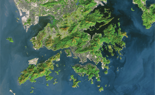
Move your mouse pointer onto the following images to get the simulated 3D effects:
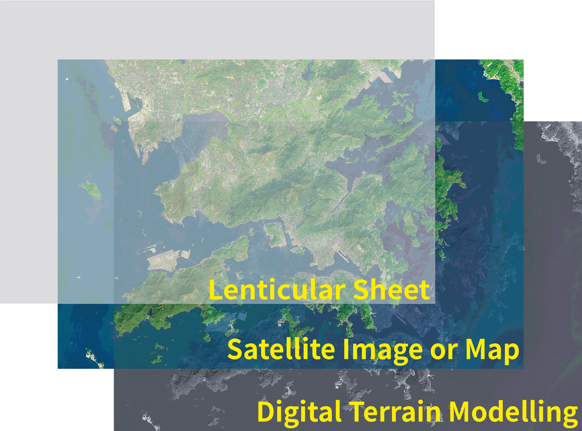
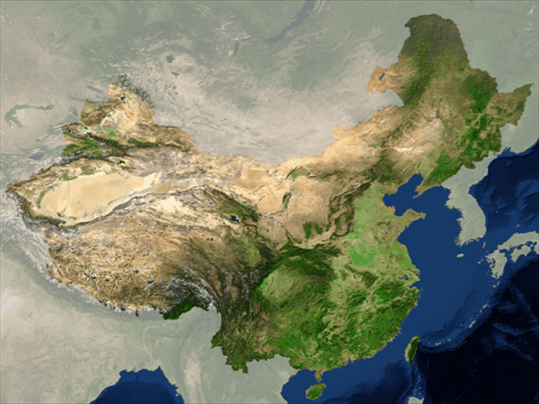
Landsat-7-USGS Hong Kong Showcase

MODIS-NASA Showcase


Advantages


Our 3D images and maps are permanent hard copies made of durable plastic sheets which you can view without the aid of software. With our special 3D processing technique, neither stereoscope nor a stereo pair of imagery is needed for viewing and acquiring the 3D effect to save you much time, money and effort.


Our advanced 3D processing technique allows you to view the satellite images directly to get the realistic true 3D effects without the need of special glasses. It is convenient and easy to view and analyze.


With our advanced technique, the 3D satellite images made are of high quality. They are suitable for display and demonstration, and can be used in schools for learning and workplaces for presentation.

Wanna know more about our 3D imagery products?


Click the following buttons or contact us for further details.