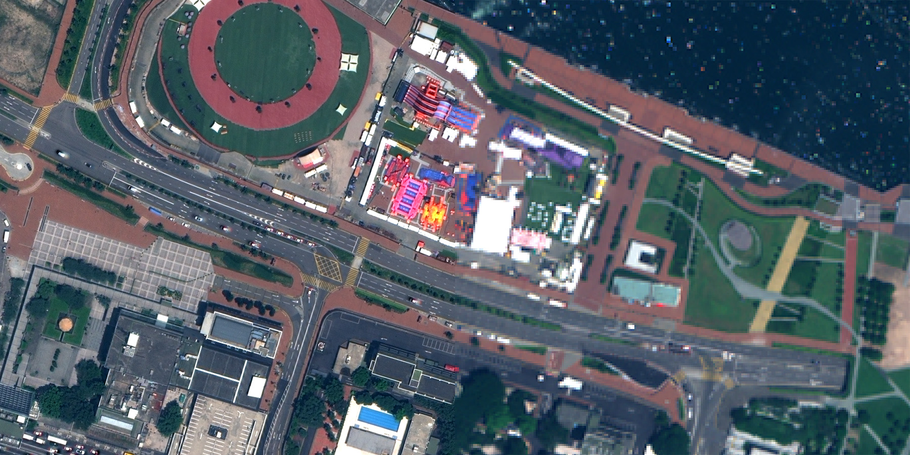

Order your satellite imagery now
For more than 30 years, Geocarto International Centre Ltd. has been a leading distributor of satellite remote sensing data and provider of image processing services in the Asia Pacific region.

FuzeGo is the world leading image fusion software for adding color to non color satellite imagery. It helps you find things you never could, identify objects you couldn’t see before and you can count on the results because you don’t lose information.
TerrSet is an integrated feature-rich software system for monitoring and modeling the Earth system for sustainable development. Based on three decades of development within the Graduate School of Geography at Clark University, TerrSet offers a constellation of integrated vertical and horizontal application.
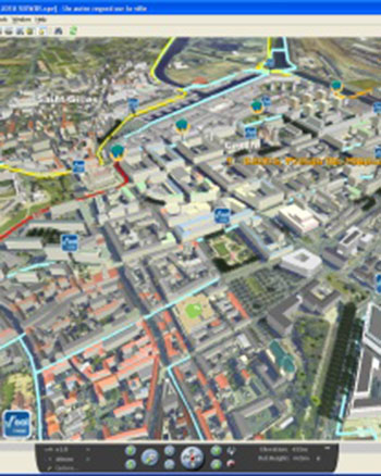
SpacEyes3D is a complete software suite for 3D geospatial applications and is offered at a very attractive price.

3DMasterKit software is designed for creating lenticular pictures with realistic 3D and motion effects.
StereoTracer software converts 2D images or stereo pairs into the glasses-free 3D format by means of a special depth-map.
For more than 30 years, Geocarto International Centre Ltd. has been a leading distributor of satellite remote sensing data and provider of image processing services in the Asia Pacific region.