Satellite Imagery
We distribute a wide range of cost-effective and affordable satellite images.
GeoEye-1
Maxar Technology
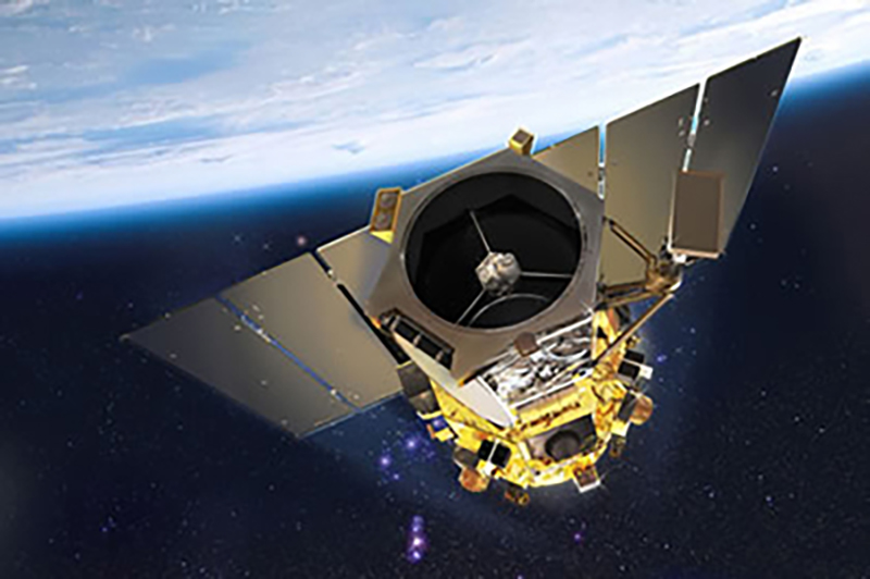
GeoEye-1 is a very high resolution satellite launched in 2008 and is owned and operated by DigitalGlobe. GeoEye collects images at 41 cm panchromatic and 1.65 m multispectral resolution.
| Sensor Specifications | |
|---|---|
| Launch Date | 2008-09-06 |
| Status | Available |
| Order Specifications | |
| Minimum Order Area | 25 sq.km |
Launched on September 6, 2008, GeoEye collects images at 41 cm panchromatic and 1.65 m multispectral resolution.
It geolocates features to less than 5 m. During the summer of 2013, the orbit altitude was raised to 770 km from 681 km. Its new nadir ground sample distance is 46 cm compared to the previous 41 cm.
| Panchromatic | 450 - 800 nm |
| Multispectral |
Band 1 (Blue): 450 - 510 nm Band 2 (Green): 510 - 580 nm Band 3 (Red): 655 - 690 nm Band 4 (NIR): 780 - 920 nm |